Take a step back
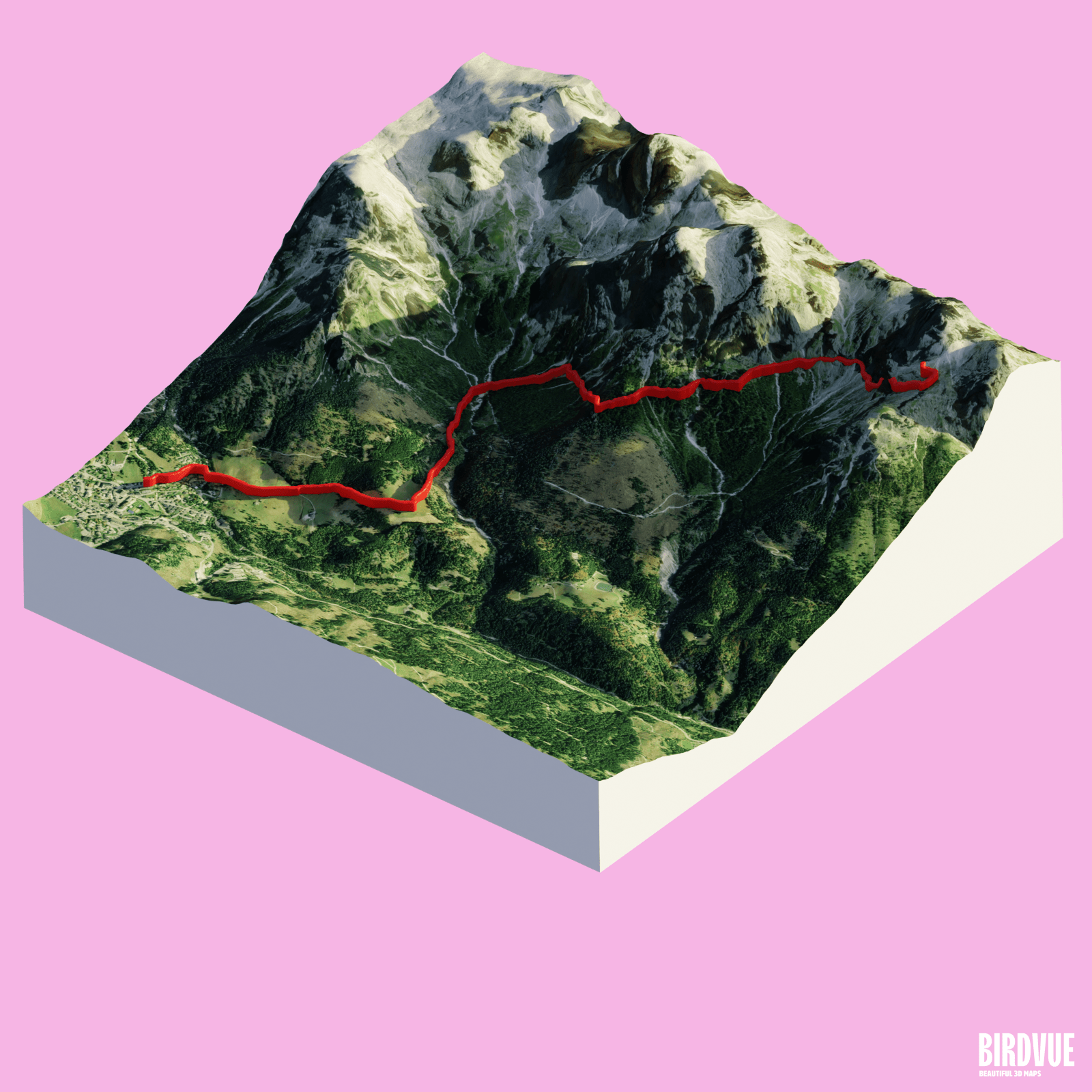
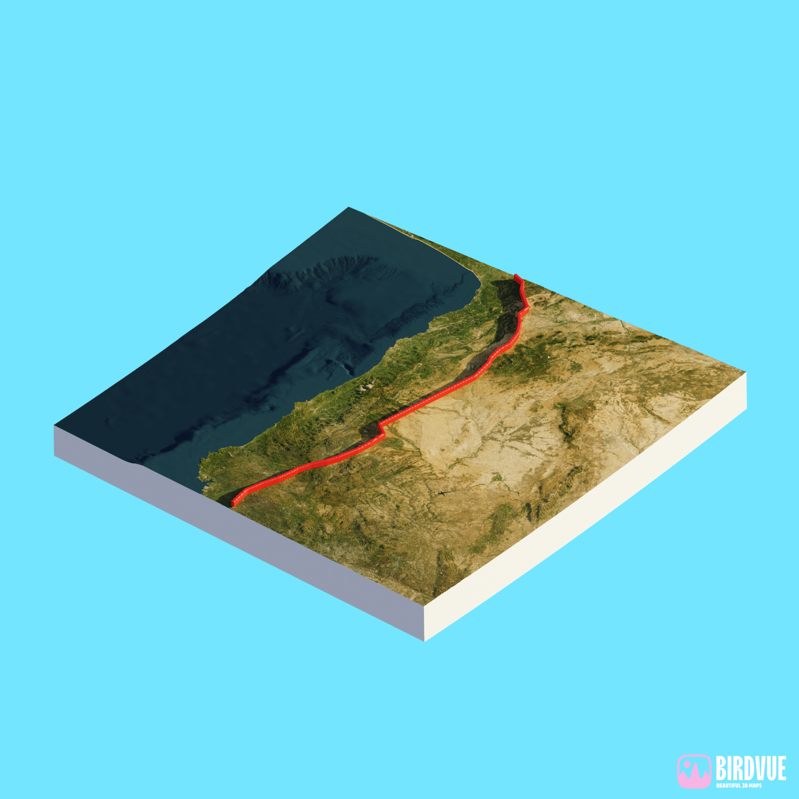
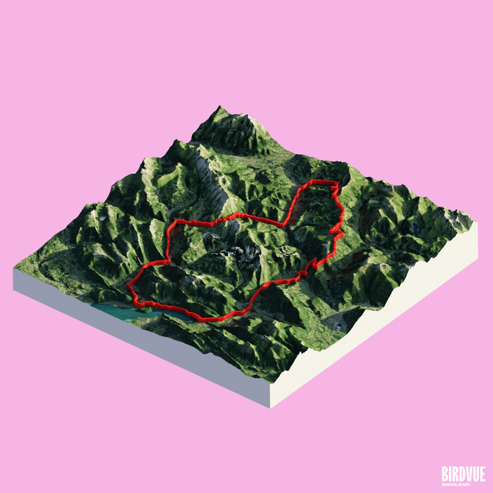
Get a full view of your morning run or your multi-day bike expedition. Watch the mountains you scaled and the rivers you crossed. Create a powerful image to keep as a memory and share with your friends.
Birdvue uses the GPS track of your adventure to create a beautiful map, digital or 3D printed
Create my map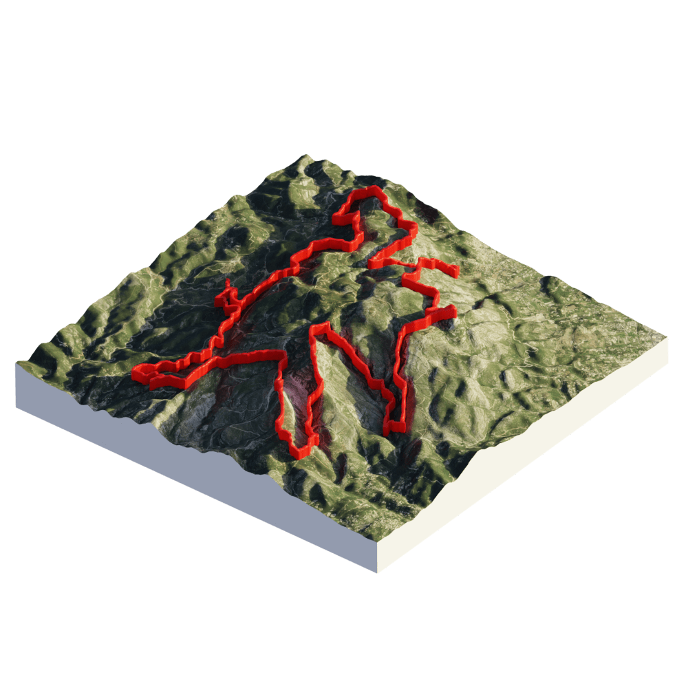
Get a full view of your morning run or your multi-day bike expedition. Watch the mountains you scaled and the rivers you crossed. Create a powerful image to keep as a memory and share with your friends.
Picture your feats with breathtaking fidelity. With physically accurate lighting, high-quality relief, and the latest satellite imagery, create a realistic digital double. You could almost feel the sun shining on your skin.
Birdvue works with all outdoor activities. On the ground or in the air, long or short, you can see your path stand out. The map will automatically scale to get the best possible view of your whole expedition.
See what others have done.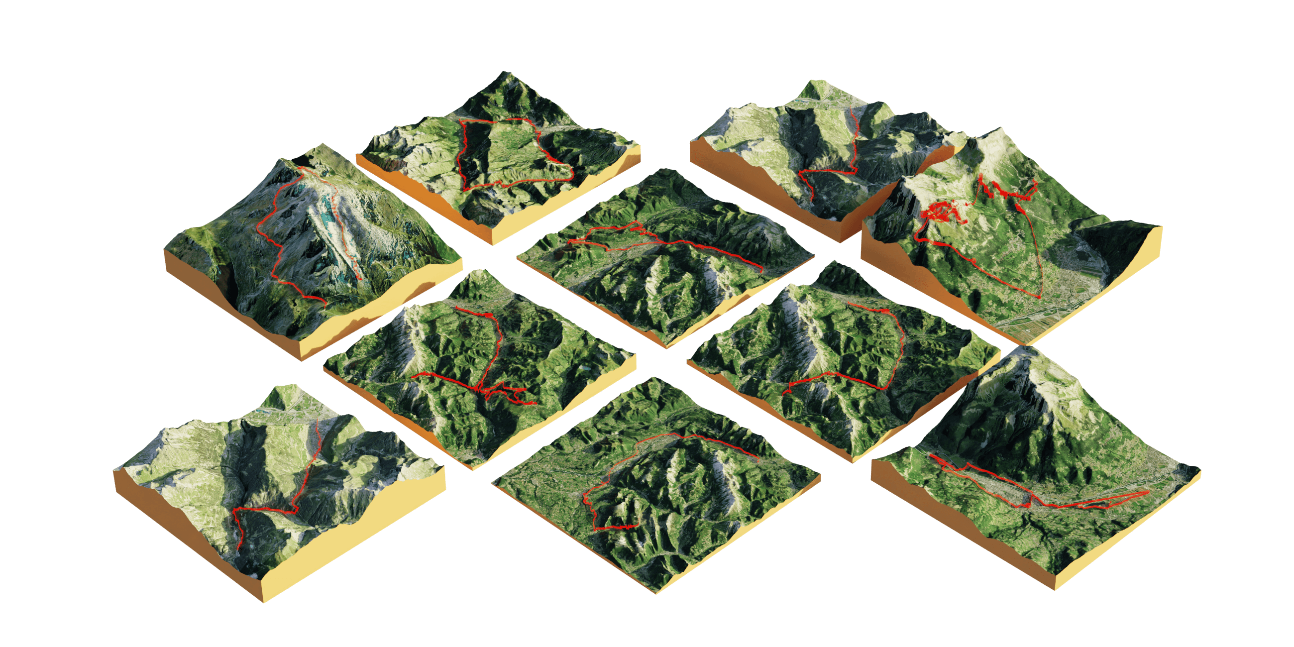
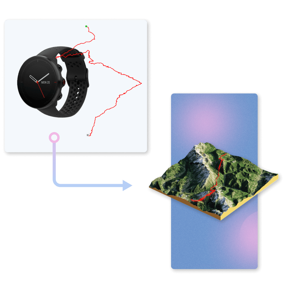
Connect with Strava and pick from one of your past activities. Or upload your own GPX file saved from your favorite tracking device. After a minute your map is ready to be shared everywhere. We will only use your data for the purpose of rendering the map.
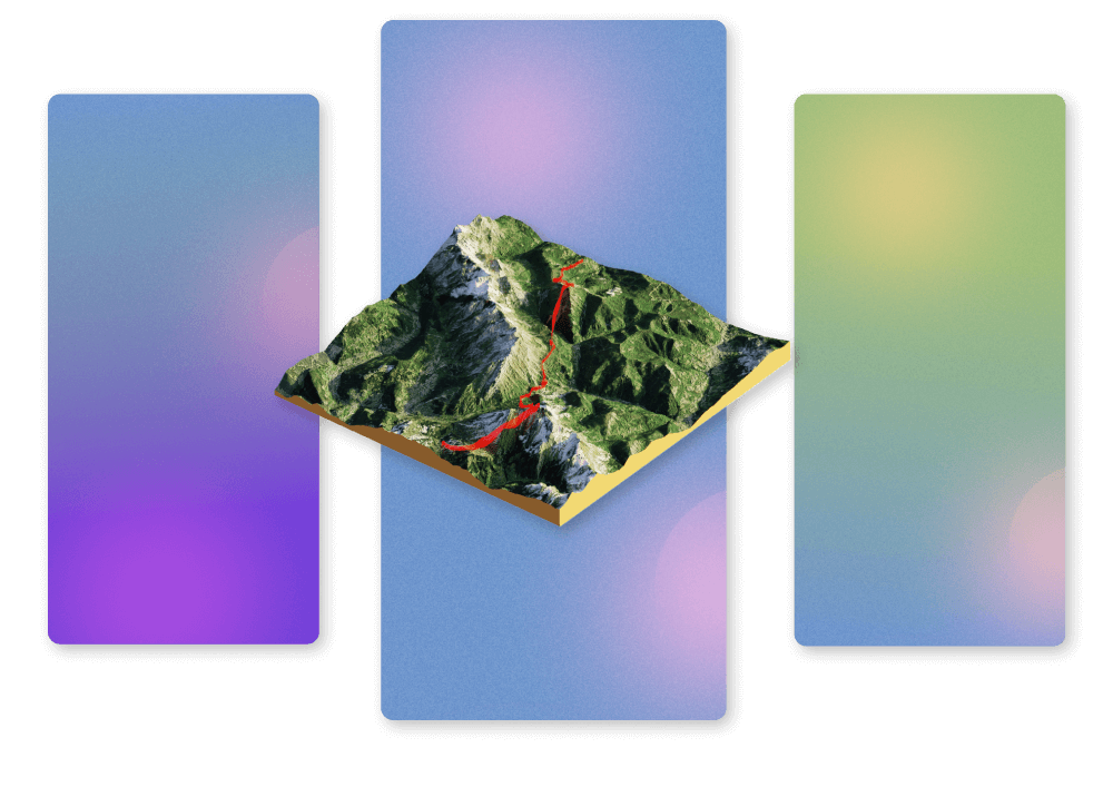
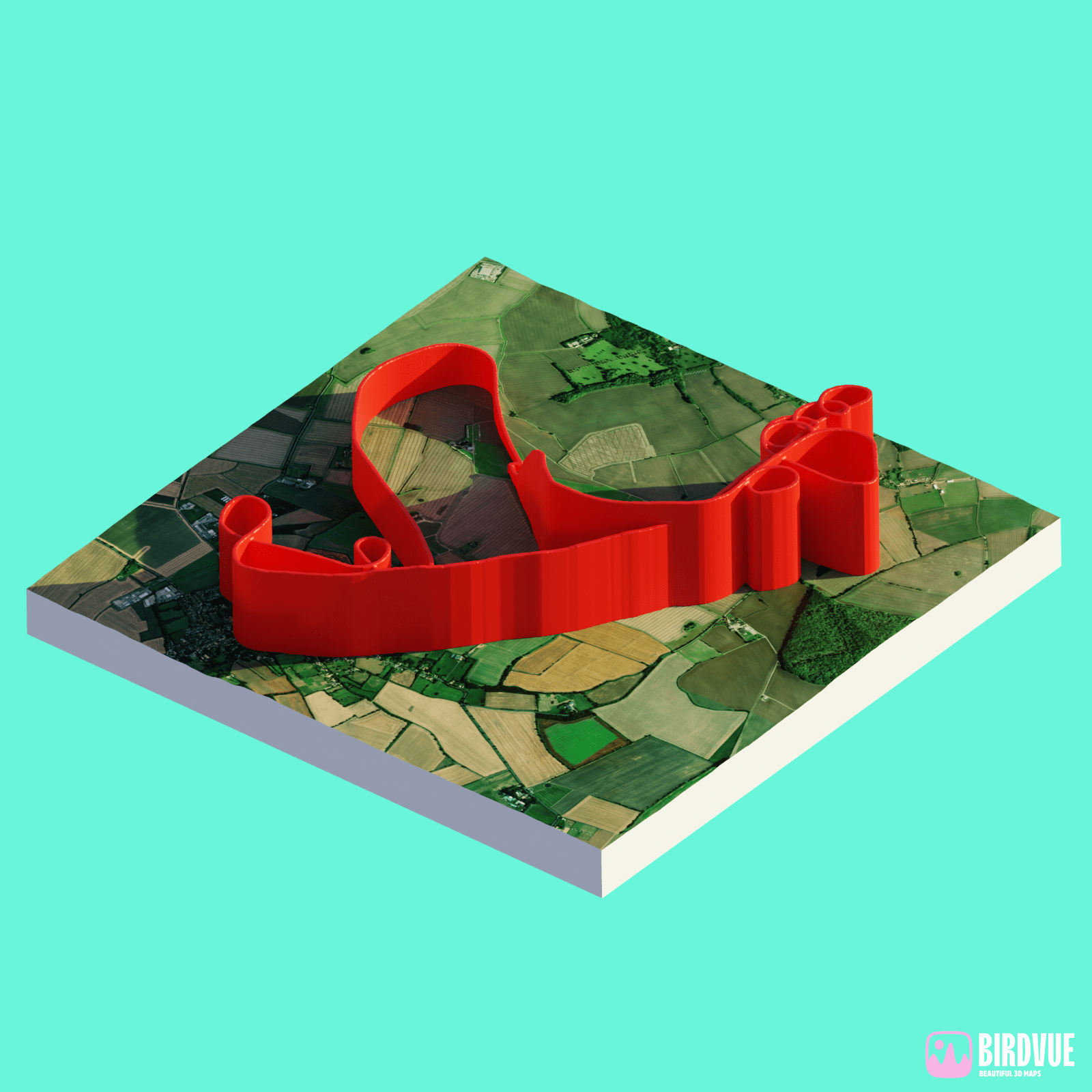
Personalise your image to your taste. Choose a background and pick a format for sharing. Give some context: add a text overlay with a name, date, or distance. Go bold or go minimal, the choice is yours.
29/07/2026
07/07/2026
29/06/2026
16/06/2026
132.151 km
.png)
28/05/2026
28/05/2026